
Ordnance Survey Landranger maps
Ordnance Survey 1:50,000 mapping
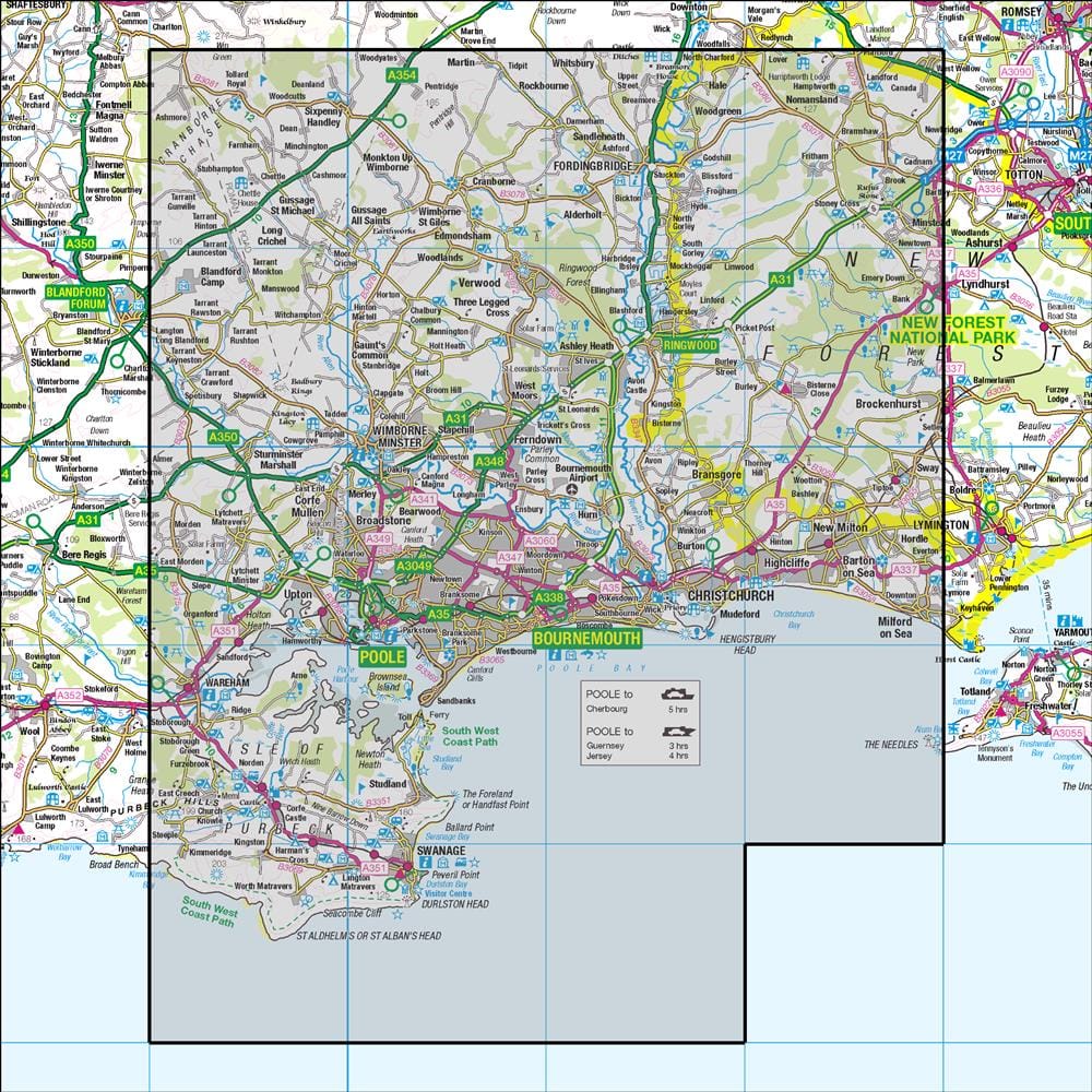
195 Bournemouth & Purbeck Wimborne Minster & Ringwood
Use 195 Bournemouth & Purbeck Wimborne Minster & Ringwoodas part of OMN4's Great Britain Ordnance Survey mapping workflow, subject to subscription. OMN4 brings the map into route planning, offline preparation, GPX work, desktop review, and print backup.
Suited to cycling, touring, longer routes, and broad route planning across larger areas.
Map scale
Landranger mapping gives a wider 1:50,000 view for planning over larger areas while still showing roads, places, terrain context, footpaths, and rights of way.
Offline preparation
Download the map areas you need on the device that will use them, then check status, storage, and verification in Map Management.
Desktop printing
Use desktop printing when a paper backup helps: choose scale, layout, grid detail, and the route or area you need.
Useful next steps
Find out more about Ordnance Survey maps in OMN4, compare plans, install the app, or read the map help.